Butte
While the EPA Five-Year Review of Butte Superfund sites continues, reclamation and restoration work is ongoing in the area. At the top of the Butte hill near Walkerville construction will be completed in 2010 on the Granite Mountain Memorial Interpretive Area. The Memorial itself is being expanded, and an already partially-completed trail will connect that area to the greater uptown Butte trail system. This new trail will provide the public with access to the historic Foreman’s Park near the Mountain Con mine yard.

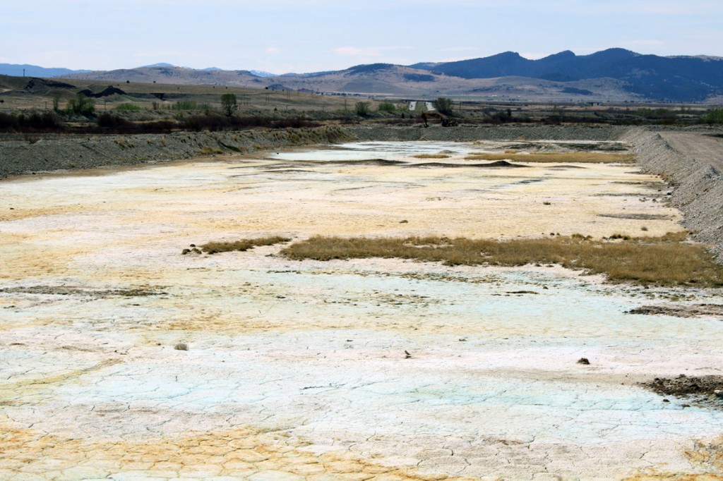
Monitoring of stormwater and groundwater is also ongoing to insure that metals and other mining contaminants from the Butte hill do not recontaminate the restored Silver Bow Creek. New groundwater monitoring wells are being installed near the historic Silver Bow Creek channel, commonly known as the Metro Storm Drain, and also in Lower Area One on the west side of the Butte, where treatment lagoons capture contaminated groundwater and surface water to prevent contamination from reaching Silver Bow Creek.
Beyond 2010 the Metro Storm Drain and Lower Area One treatment lagoons will be evaluated; best management practices for stormwater will be implemented; the Butte Reclamation Evaluation System will continue to monitor capped mine dumps on the Butte hill to ensure that historic mine wastes are not spreading; and the voluntary Residential Metals Abatement Program will continue to assist residents in assessing and removing historic wastes present in Butte homes.
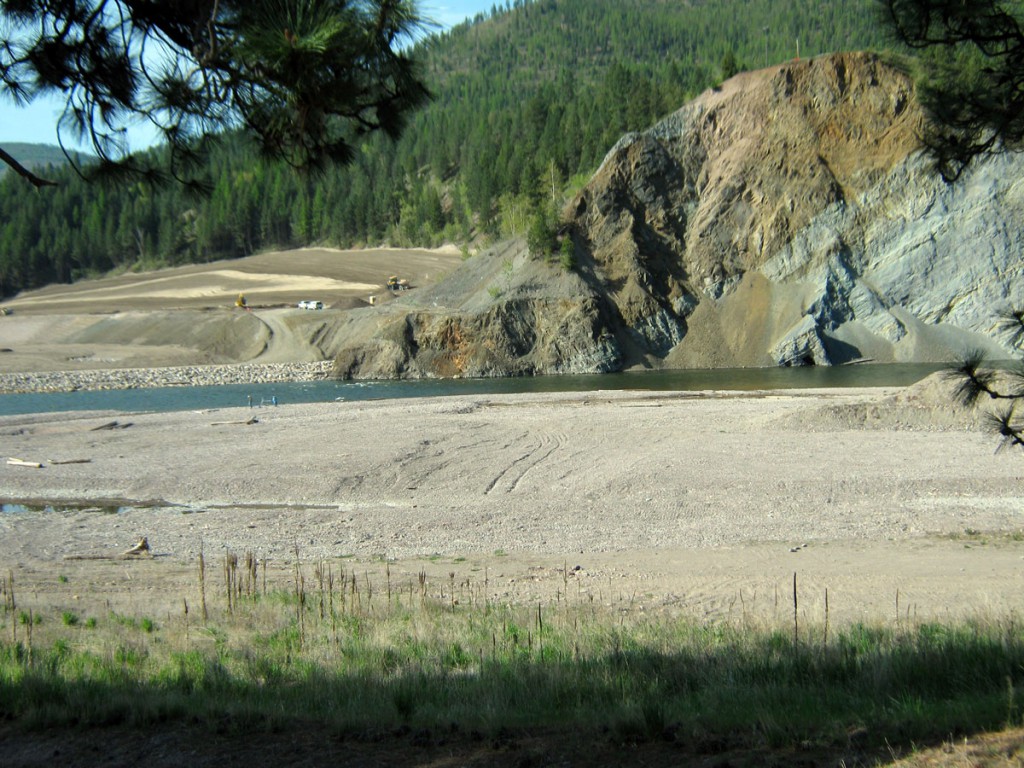
Work also continues on the restoration of Silver Bow Creek. Through the summer, crews are removing mine waste and restoring the creek through Durant Canyon and near Fairmont Hot Springs.
Charlie Coleman
Remedial Project Manager
10 West 15th Street, Suite 3200
Helena, MT 59626; or
John Brown
Superfund Project Officer
P.O. Box 200901
Helena, MT 59620-0901.
Milltown Area
At the confluence of the Blackfoot and Clark Fork Rivers, the last trainload of contaminated sediments left the Milltown site on September 24, 2009. Work still continues at the site to restore the historic stream channel. The Clark Fork River is currently diverted until that work can be completed. Once that work is done, restoration of the greater confluence site will begin.
The Clark Fork River Technical Assistance Committee (CFRTAC) has a wealth of additional information on their website at http://www.cfrtac.org/.


